
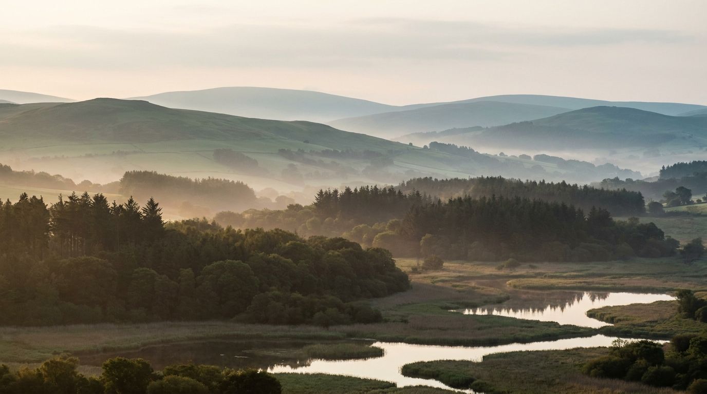
Vepler Conservation & Nature is now available through our API. It brings the UK's protected nature into one place, so anyone weighing up a piece of land can see every protection that applies to it without first reconciling four separate registers.
We care about these places, and we think the people making decisions around them should be able to see clearly what protects them. That means less time wrestling with formats and coordinate systems, and more certainty that nothing on the ground has been missed.
One point, every protection on it
Protected nature does not arrive one designation at a time. A single point in the New Forest can sit inside a national park, a Special Area of Conservation, a Ramsar wetland and a Site of Special Scientific Interest at once, and each of those carries its own legal regime with its own consent rules. Miss one and the assessment is wrong.
One location query returns the whole stack rather than the nearest match, and each designation names the statute that protects it.
GET /v1/conservation?point=50.8570,-1.6389&radius=250

→ national_park, sac, spa, ramsar, sssi, priority_habitat
  every protection on the point, one call
Four statutory bodies, one record shape
Natural England, NatureScot, Natural Resources Wales and Northern Ireland's DAERA each notify and map their own sites, in their own formats, on two national grids and on their own timescales. Building a single picture from them has always been a project in itself: fetch, reproject, repair the broken polygons, resolve the overlaps, then keep the whole thing current.
We reconcile the four into one schema, give every designation a stable identifier, and name the exact statutory regime that protects it. Grades and types are never flattened across nations; the law that applies to a site in Scotland is not restated as its English equivalent.
Kept current with the registers
Designations move. Sites are notified and denotified, boundaries are amended, habitats are remapped. A shapefile downloaded in the spring knows none of this. When a body revises its layer, the next edition carries the change under the same identifier, and every response records the snapshot it came from and the moment we ingested it. You never host a copy, so you never host a stale one.
These places matter, and the people deciding what happens around them should be able to see clearly what protects them. Vepler Conservation & Nature is live today, with documentation at api.vepler.com.
Tags
Vepler Team
Product Team
The Vepler team builds property data infrastructure for the UK real estate industry.